#SCANTOBIM
By geodesists for geodesists
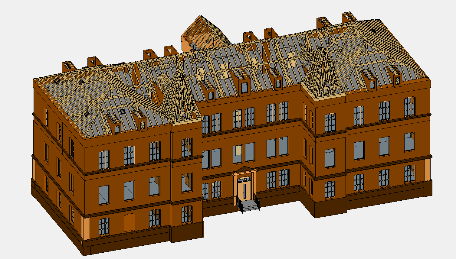
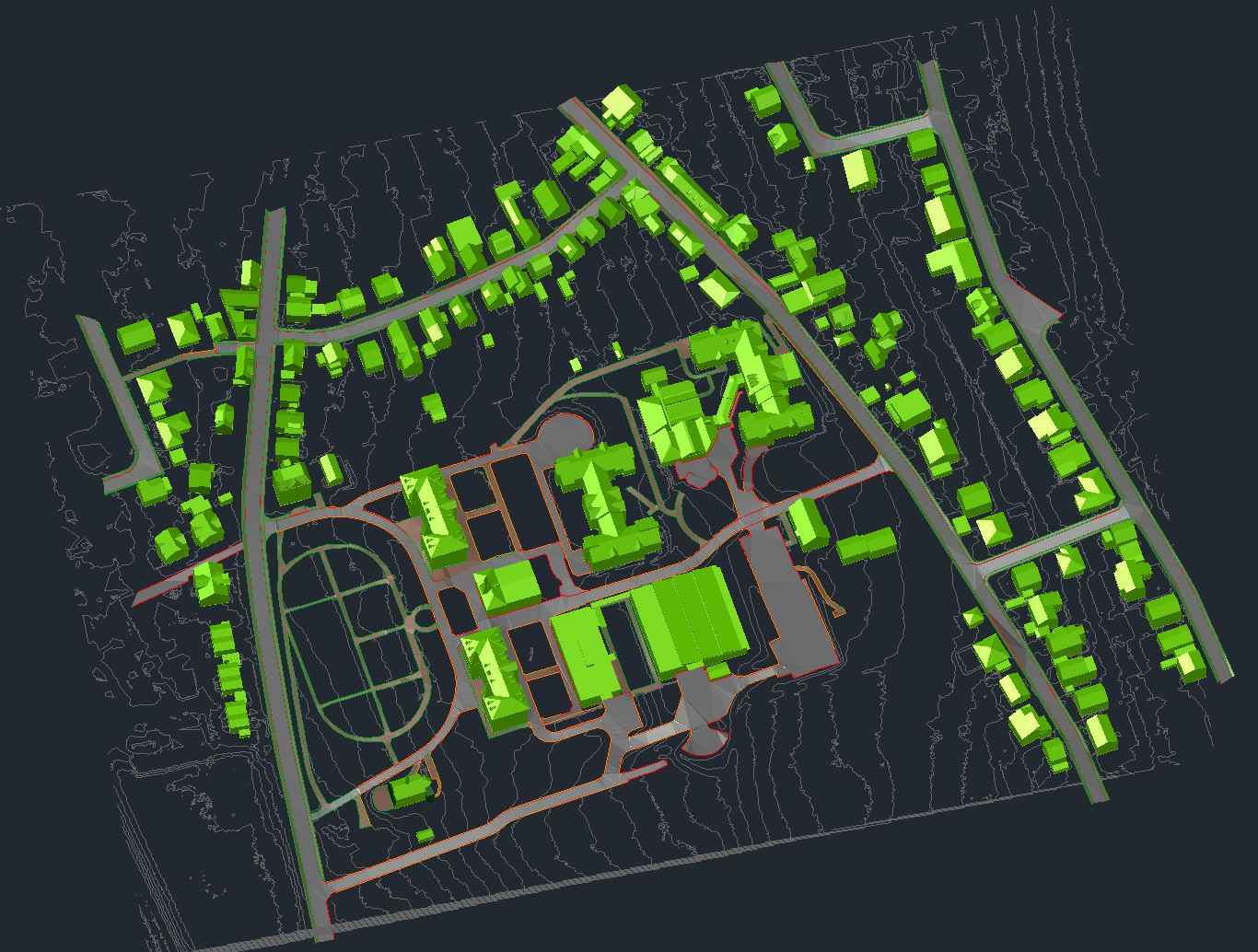
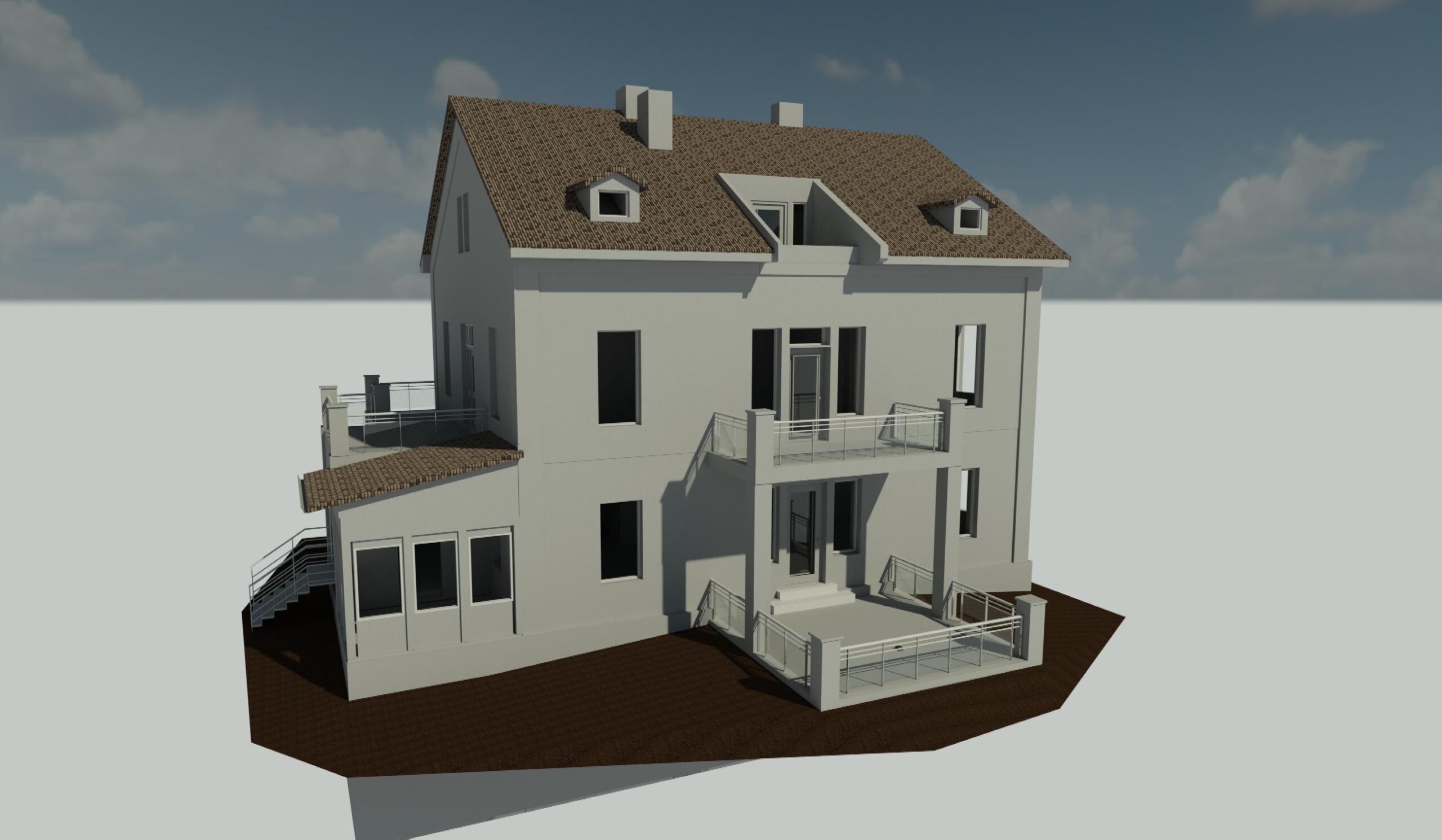
With our highly qualified staff, we construct 3D models in IFC format or CAD plans from laser scan point clouds for commercial customers.
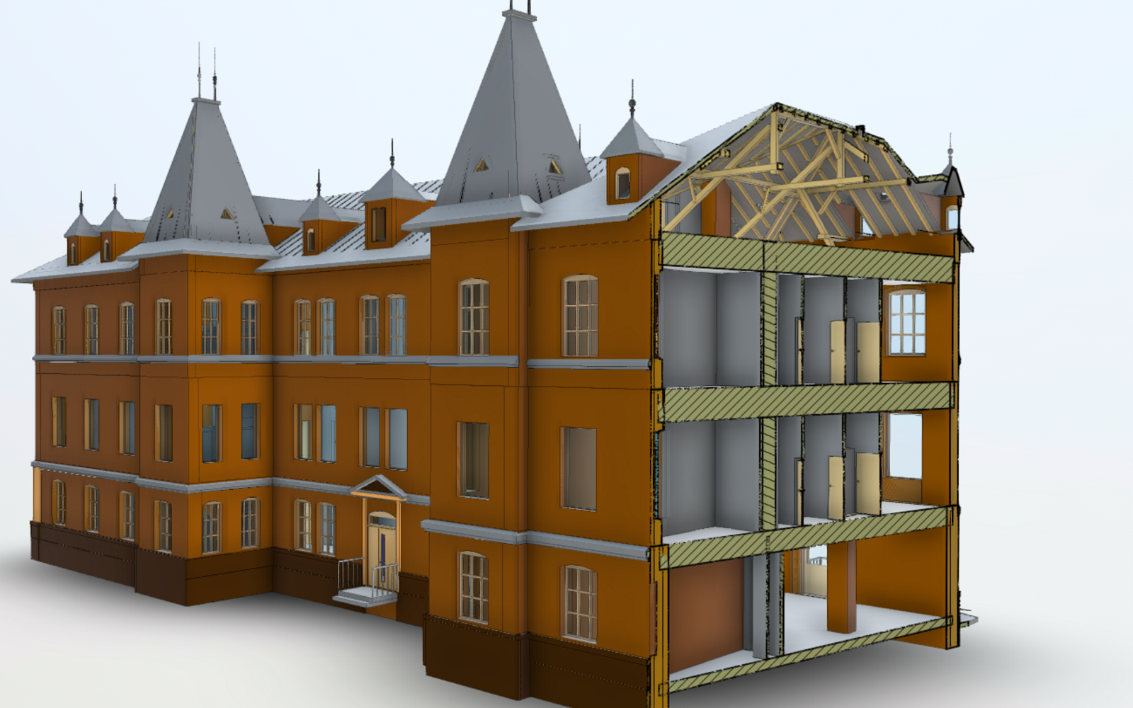
#SCANTOBIM
Von Geodäten für Geodäten
Mit unserem hochqualifizierten Personal konstruieren wir für gewerbliche Kunden aus Laserscan-Punktwolken 3D-Modelle im IFC-Format oder CAD-Pläne.
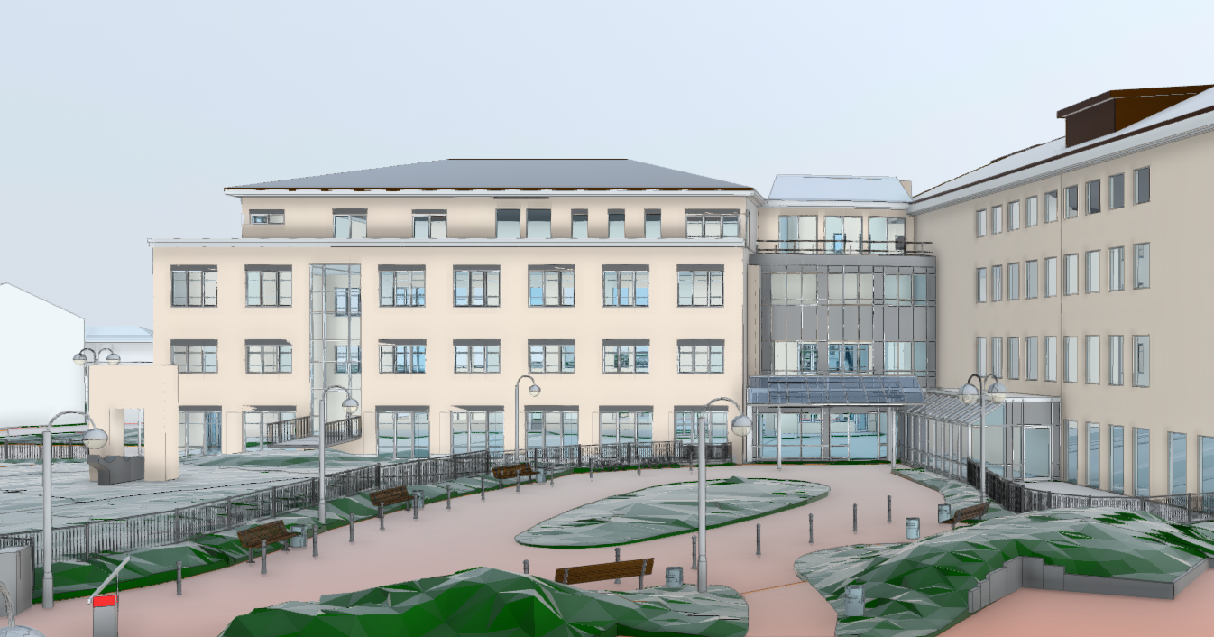
#SCANTOBIM –
Geodeedilt geodeedile
Oma kvalifitseeritud töötajatega loome klientidele laserskanneerimise punktipilvest IFC vormingus 3D-mudeleid ja CAD-plaane.
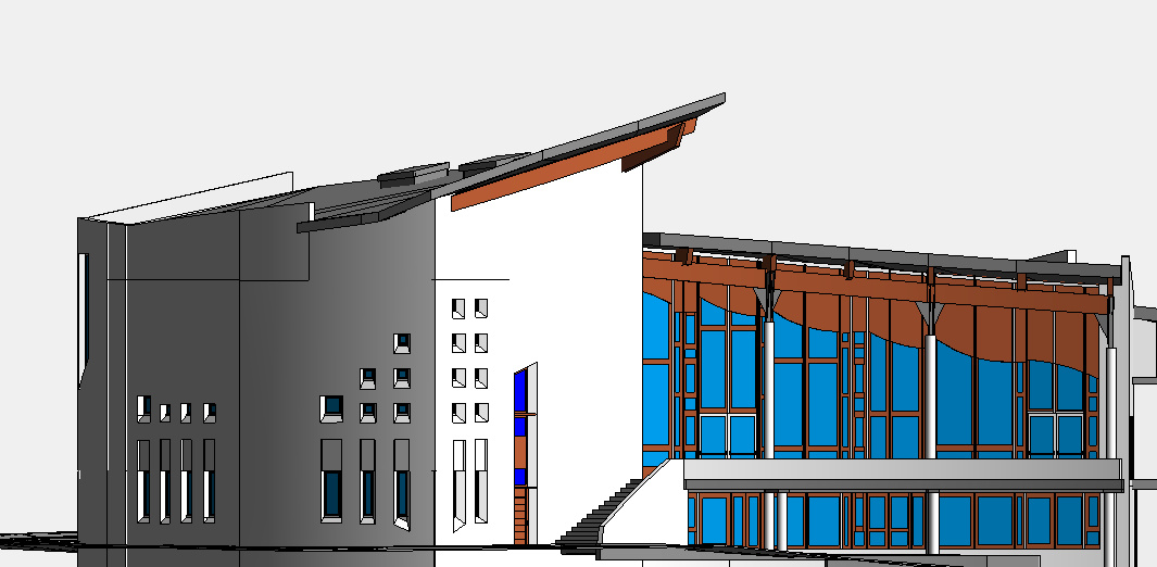
our win-win promise
Why Laygeo and nothing else?
We offer our services for large and small surveying-, engineering- and architecture offices. Thanks to our highly qualified staff, we are your first point of contact when it comes to BIM and you are already working with a laser scanner.
quality
First of all, a model has to be right. We want to ensure this with our 4-eye principle.
precision
Thanks to our surveying background, we know how important accuracy is.
flexibility
You do not have to keep manpower on hand. We are here for you.
price
We calculate the required working hours in advance based on your point cloud and then send you a fixed offer that will remain.
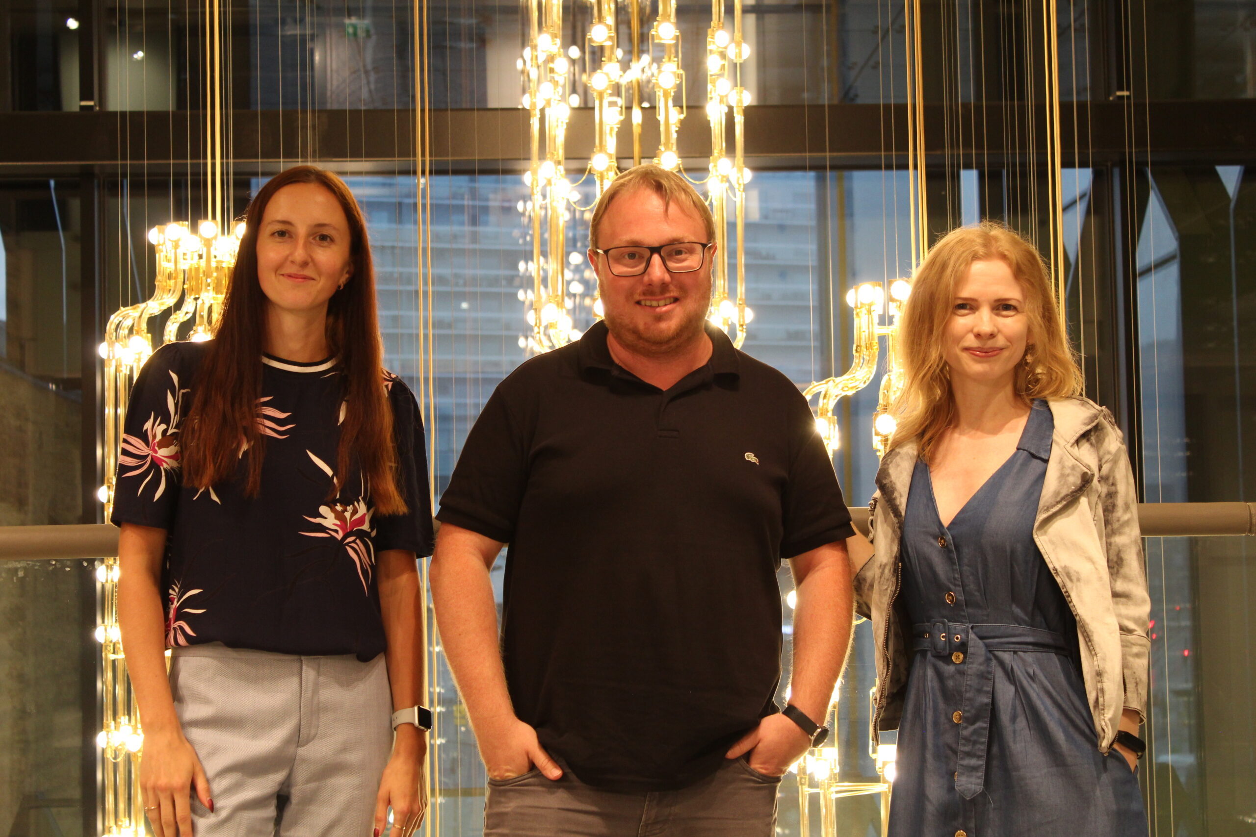
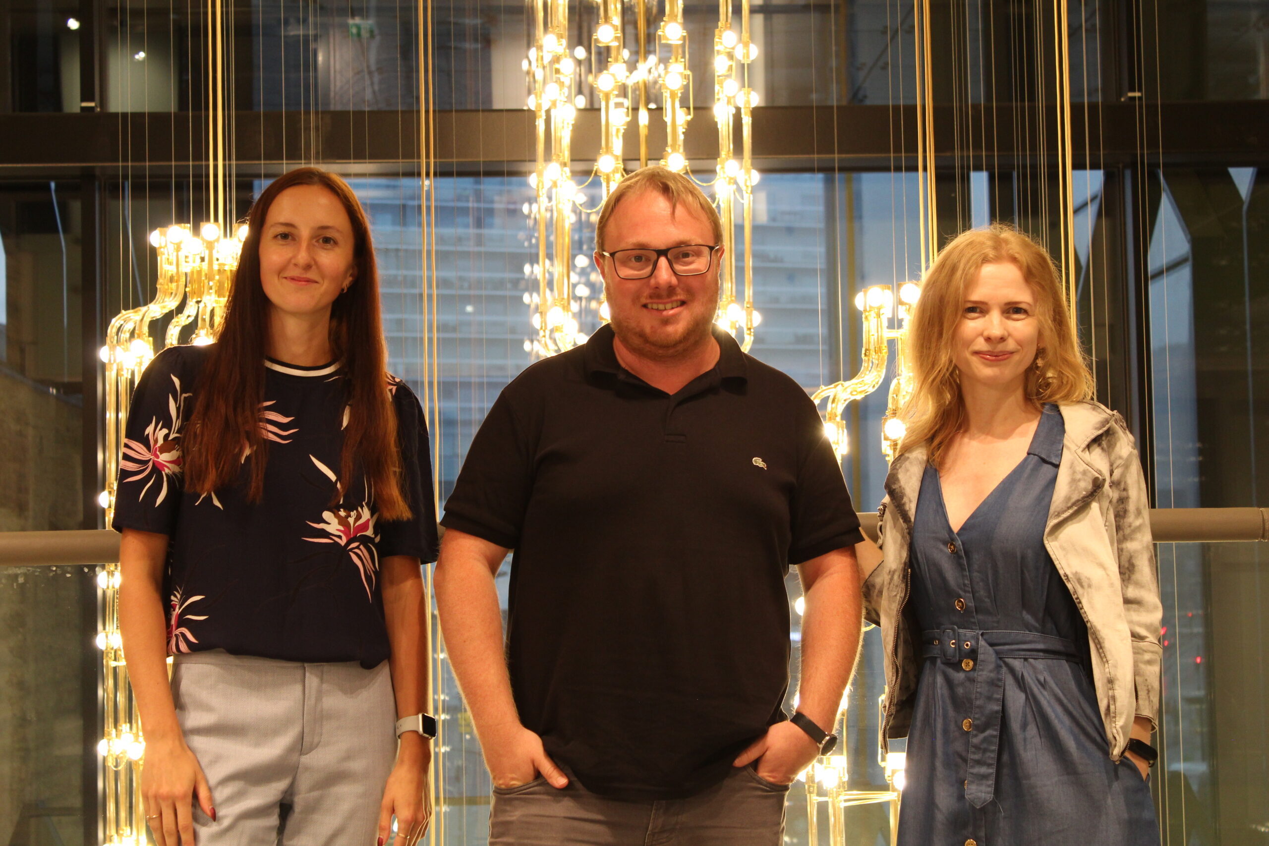
Team | Mannschaft | Meeskond

Darja Moskvina, M.Sc.
BIM Office Manager
Experience as a Constructing Architect and BIM Coordinator / Modeler

Liina Ehrenpreis, B.Sc.
BIM Creator
Experience as a Engineer Surveyor and Urban Planner

Carsten Schröder, M.Eng.
CEO
Experience as a Publicly appointed Surveyor in Germany
News | Aktuelles | Uudised
